Today we took a road trip to Andersonville. It's only about 30 minutes from our RV park. I have to admit, I didn't know a lot about this site... I didn't always pay attention as I should have in history class.
The Andersonville Prisoner of War Camp was quickly built to relieve crowding at other prisons, and to relocate Union prisoners away from the battlefront. This location was chosen because it was pretty remote, yet very close to a railway, for prisoners to be brought in. The original 16 acres was built with a carefully hewn fence, or stockade, with no gaps between the logs.
This is the entry gate. Logs were squared off and placed very tightly together, so no one could see out.
This was originally built to house 10,000 prisoners, but climbed to nearly 35,000.
Later, an additional 10 acres was added, and these logs weren't squared off, and had slight spaces in between, because this part was more hastily done.
What fences are there now have been re-created as they would have been back in the 1860's.
There are markers put up to show where the outer "stockade" fences were built. That's the line of white markers, and rock posts on the left of this picture. The line of white markers closer to the middle of the picture mark where the "deadline" was... It was a simple rail fence inside the stockade... Anyone who dared to cross the deadline was supposed to be shot immediately.
This shows what the deadline looked like... Just a simple rail fence.
Guards were stationed about every hundred feet around the prison yard, in sentry boxes. They were to shoot anyone who crossed the deadline.
There was no housing or shelters of any kind inside the stockade... The men built crude shelters with whatever they may have happened to carry in with them. They would have looked something like this:
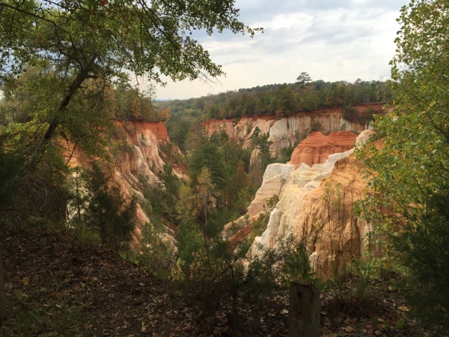
This location was also chosen because in the center of the 26 acres, there was a creek that split it in two. The idea was that upstream was supposed to be for drinking water, mid-stream was supposed to be for bathing, and downstream was for the latrine. Unfortunately, the stockade walls kept water from flowing in and out freely, so all the water was just a mess. This is the creek today... Even now, it doesn't look like enough flowing water to take care of 10,000 people, never mind 35,000!
This was kind of interesting... There were many markers all over the prison site, to mark where prisoners had dug themselves wells to have another source of water:
But then there were these two sites, that had not been capped off like the others:

Historians today think some of these "wells" were actually attempts at escape tunnels, as many of them are placed suspiciously close to the deadline.
This is Evan, our tour guide. He is very young, but was very knowledgeable about everything Andersonville. He didn't try to make either side sound like heroes... While prisoners in the South were suffering from little food and flies and gnats and mosquitoes and extreme heat, prisoners in the North were suffering in the extreme cold in the wintertime. He did say that prisoner exchange programs were used at first, but were stopped by the North, because the South wouldn't promise to keep returned black prisoners out of slavery.
Okay, we all know what these were used for...
There are monuments either in the area that was the prison camp, or in the cemetery itself, to commemorate the soldiers from different states that lived and died there. Some states had their own monument, as Michigan did:
There were 8 states that were grouped together on one monument. Kansas and Missouri were both listed there. I assume these states had the least number of prisoners there. Kansas only had 4, and Missouri, 104.
We also walked over to the cemetery, where the 13,000+ who died in the prison camp were buried. This is just one section of the cemetery. Many of the graves were marked with names, but there were many that were marked "unknown soldier".
This is a National Cemetery, so anyone who is a veteran, or their spouse, can be buried here, if they choose. We were told there is a burial here nearly every day of the year. There was one going on today, and they rope off that section of the cemetery for privacy.
This was interesting... Inside the prison camp, conditions were horrible, there were not enough supplies or food to keep people healthy, often a small scratch turned into a long slow death because everything was so dirty and unhealthy... If everyone had been spread out evenly across the grounds, each person would have less than a 6 x 6 space to himself, and that doesn't take into account the deadline area, or the swampy creek area. Anyone who had anything was looked at with envy. Gangs formed, and wreaked havoc on the other prisoners. Eventually, 6 men were court-marshaled and hung as the gang leaders. They are also buried at the cemetery, but their 6 graves are separated slightly from the others.
Our tour guide said that, even today, when American flags are placed at all the graves for specific holidays, these 6 graves are left bare, because of their betrayal to their fellow prisoners.


